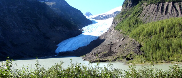
Visit Salmon Glacier then Watch the Bears Eat Dinner at Fish Creek
|
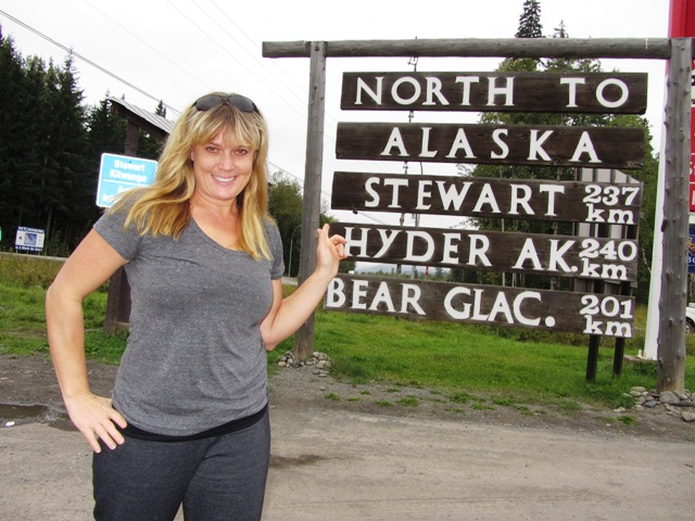
Start your tour at the Visitor Center in Stewart, BC where you can pick up the "Glacier Highway and Salmon Glacier Self Guided Auto Tour" map and drive to all 14 stops which include:
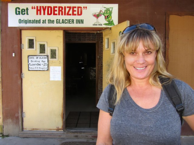
Stop 1 (0km) - Stewart, BC Situated across from Alaska's Misty Fiords National Park and at the end of the Portland Canal, Stewart, is a unique border town attracting tourists from every corner of the world. Stop 2 (3.2km) - Hyder, BC Hyder BC came into being partly due to the Premier Mine's activities and to the influx of Hyder, Alaska residents during prohibition. Many Alaskans would walk over to Hyder, BC to drink then walk home after. At one time the small town boasted a row of residences, two hotels, two beer parlours, a taxi stand and a Canadian Customs building all built on pilings. But by the late 40's only a few buildings remained and today it is slowly being reduced to mere pilings.
Stop 4 (6.5km) Tongass National Forest Boundary The
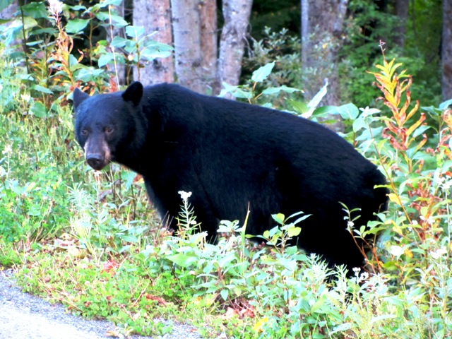
Tongass covers 16.7 million acres and has approximately 17,600km of coastline. Stop 5 (7.6km) Moose Pond Named after the Loyal Order of Moose many geese, ducks, porcupines, beavers and other wildlife (but no moose) can be spotted at the pond. Stop 6 (9.6km) Fish Creek Wildlife Viewing Area From July to September, the salmon run provides an extensive food supply to Grizzly, Alaskan Brown and Black Bears who come to feed on the chum and pink salmon. |
Stop 7 (10km) Titan Trail
This trail was constructed in 1922 by workers from the Titan Mine. The original trail was 8km long and provided access for horse and mule trains to carry supplies to the mine site. The trail is now maintained by the US Forest Service to the old mine site.
Stop 8 (14.1km) Riverside Mine
At one time the mine was the most productive property in Alaska for copper and silver
Stop 9 (16.6km) Nine Mile
Where Texas Creek joins the Salmon River there are the remains of the old Nine Mile Bridge which was at one time used to access mineral properties in the Texas Creek drainage.
Stop 10 (21.0km) Premier Border Crossing
The International boundary between Alaska and BC was designated in 1903 by a commission to resolve the Alaska/Canada boundary dispute.
Stop 11 (23.1) Indian Mine Viewpoint
There has been no active claim on this ore mine since 1963.
Stop 12 (24.2km) Premier Mines Viewpoint
Started in 1910, by 1918, the Premier Mine had developed into one of the richest mineral deposits in BC. IN 1921 the property shipped 6,000 tons of ore with the gold valued at $1,500,000 (1921 dollars).
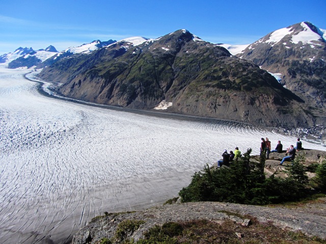
Stop 13 (27.7km) Toe of Salmon Glacier
Notice the small ponds located below the tow of the glacier. These depressions, known as kettles, are formed by the melting of buried ice blocks, which are stranded on the outwash plain after the glacier recedes. The aquamarine color is caused by the fine materials suspended in the water.
Stop 14 (37km) Summit Viewpoint
The landscape is the result of several periods of glaciation, the most recent being the Fraser Glaciation period which reached it's peak around 14,000 years ago. The Salmon Glacier is the fifth largest in Canada and the largest glacier in the world that is accessible by highway.
Did You Know...
1. Stewart is Canada's most northerly ice free port.
2. According to Statistics Canada, the population of District of Stewart was 494 in 2011. In the 1920's Hyder and Stewart had a population over 10,000
3. Salmon Glacier is the world's largest glacier accessible by road
4. Kermode bears are often seen in this area. Wikipedia: The Kermode bear , also known as a "spirit bear" (particularly to the Native tribes of British Columbia), is a subspecies of the American Black Bear living in the central and north coast of British Columbia, Canada. It is noted for about 1/10 of their population having white or cream-coloured coats. This colour morph is due to recessive alleles common in the population. They are not albinos and not any more related to polar bears or the "blonde" brown bears of Alaska's "ABC Islands" than other members of their species.
|
|


